
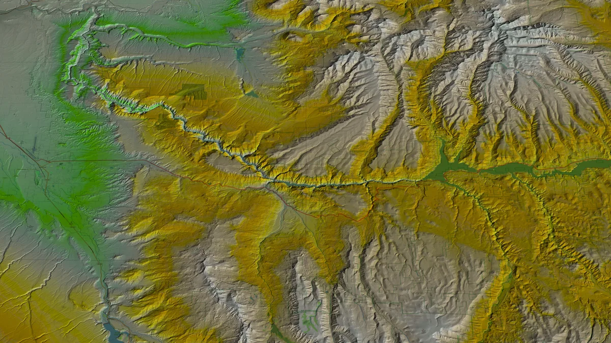
Gunnison Point - Black Canyon South Rim
Montrose, CO
Gunnison Point is the primary overlook adjacent to the South Rim Visitor Center at Black Canyon of the Gunnison National Park. The viewpoint looks directly down 2,000 feet to the Gunnison River, with the dark Precambrian walls narrowing dramatically below. Night skies at this International Dark Sky Park reveal the Milky Way arching over the canyon.
Photography Guide
- Best Time
- night
- Crowds
- Quiet
- Shot Types
- astrophotographylandscapewidelong-exposure
- Best Seasons
- summerfall
Is it a good day to go?
7-day outlookMild, dry days with light winds are the most comfortable for a visit.
Forecast by Open-Meteo. Verdicts weigh the forecast against the conditions that suit this spot.
Author's Comments
The first time I leaned over the rail at Gunnison Point I had to step back. Two thousand feet is an abstraction until you are standing at the edge of it, and the canyon does not soften the math. The walls drop straight, dark Precambrian stone gone almost black in the shadows, and somewhere far below the Gunnison River cuts a thin silver line that you hear before you see. This is a night place. The South Rim is officially a Dark Sky Park and it earns the designation honestly - I have stood here on a moonless August night and watched the Milky Way arch directly over the gorge, the galactic core so bright it cast a faint shadow on the rim stone. The composition writes itself. The canyon is the foreground. The river is the reference point. The sky does the rest. Plan around the new moon between June and September. The campground is a few minutes from the overlook, which matters more than it sounds when you are setting up a long exposure at one in the morning and the temperature has dropped further than you expected. I bring a headlamp with a red filter and I keep it off as much as I can. Your eyes need twenty minutes to find the sky, and every white light resets the clock. By day the overlook is impressive in the way most canyon overlooks are impressive. By night it becomes something else. The depth that feels vertiginous in sunlight goes quiet under stars, and the canyon reads as a kind of negative space, a darker dark beneath the brightness above. That is the photograph worth driving for.
Gallery
You might also like
Nearby Places

Montrose, CO
Black Canyon of the Gunnison - Chasm View
Chasm View offers a direct look into the narrowest section of the Black Canyon, where the canyon walls are only 1,100 feet apart at the rim and 40 feet apart at the river. The Gunnison River is visible nearly 2,000 feet below. The overlook is accessed via a short trail from the North Rim Road.

Montrose, CO
Black Canyon of the Gunnison - Painted Wall
The Painted Wall is Colorado's tallest sheer cliff at 2,250 feet, streaked with pegmatite dikes of pink and white that contrast against dark Precambrian gneiss. It is the signature feature of Black Canyon of the Gunnison National Park. The South Rim Road provides the primary viewpoint at Painted Wall View.

Montrose, CO
Black Canyon South Rim - Sunset View
Sunset View is the westernmost overlook on the South Rim Drive of Black Canyon of the Gunnison National Park. The viewpoint faces west down the canyon, allowing the setting sun to illuminate the canyon walls and the Gunnison River far below. The overlook provides one of the widest panoramic views of the canyon.