
Overlooks
25 places · Summit views & high vantages

Golden, CO
Lookout Mountain
Lookout Mountain rises to 7,379 feet and provides panoramic views of the Denver metro area to the east and the Continental Divide to the west. The summit area includes the Buffalo Bill Museum and grave site. The Lariat Loop road ascending the mountain is a historic scenic drive.
Boulder, CO
Mount Sanitas
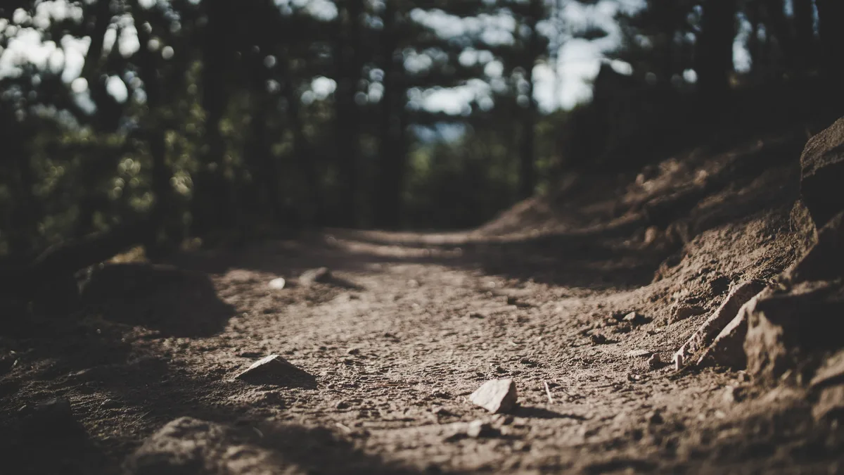
A 6,863-foot peak on the western edge of Boulder with a steep 1.5-mile trail to the summit. The summit provides 360-degree views including the Flatirons, Boulder, the Indian Peaks Wilderness, and the Great Plains. Large quartzite boulders at the summit create natural foreground frames for landscape photography.

Morrison, CO
Mount Falcon Park
A Jefferson County Open Space park featuring the ruins of John Brisben Walker's castle and the foundations of a planned Summer White House for the President. The park sits atop a mesa at approximately 7,700 feet with views of Mount Evans, the Continental Divide, and the Denver metro area. Remains of the Walker castle provide unique architectural foreground elements.

Dillon, CO
Sapphire Point Overlook
A short 0.6-mile loop trail leads to a dramatic overlook perched above Dillon Reservoir with sweeping views of the Tenmile Range. The point is a popular wedding venue and offers unobstructed panoramic views in nearly every direction. The overlook sits along the Swan Mountain Road between Keystone and Breckenridge.
Keystone, CO
Loveland Pass
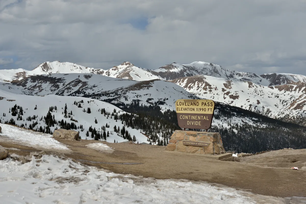
At 11,990 feet, this Continental Divide crossing on US Highway 6 provides 360-degree views of alpine tundra, distant peaks, and glacial valleys. The pass marks the boundary between Summit and Clear Creek counties and is one of the highest paved mountain passes in the United States. Cornices and snow formations persist along the ridgeline well into summer.
Mancos, CO
Park Point Overlook
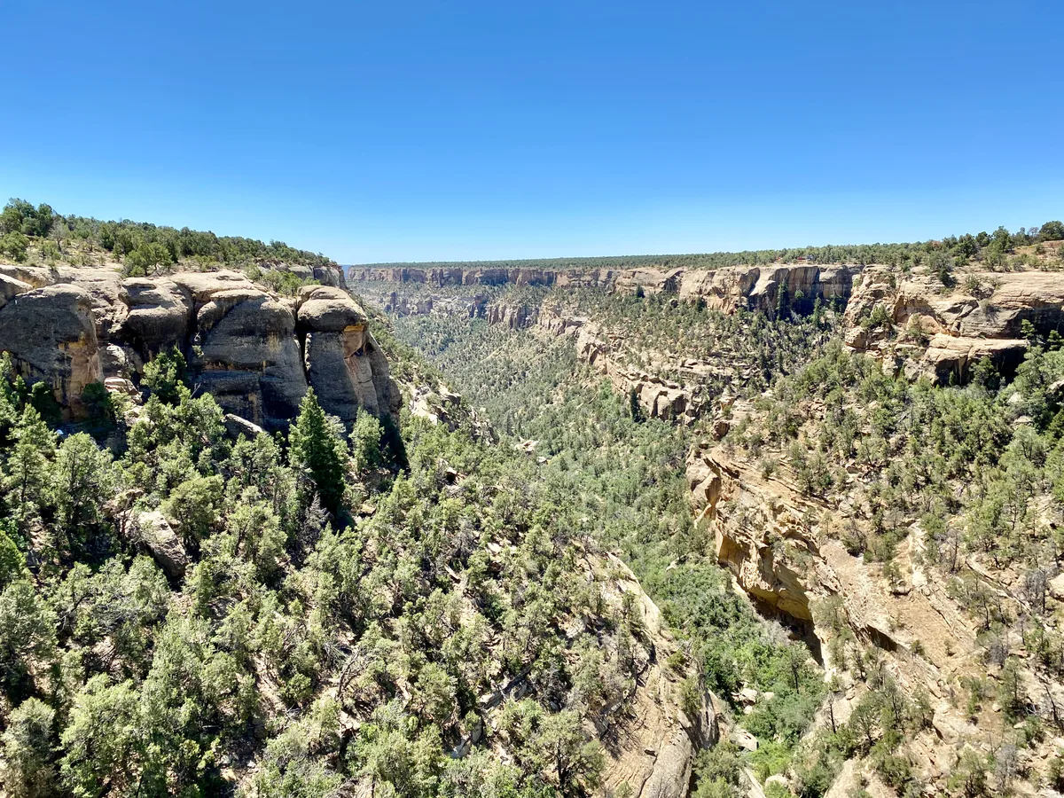
Park Point is the highest elevation in Mesa Verde National Park at 8,572 feet, offering a 360-degree panoramic view that extends into four states. On clear days, the La Plata Mountains, Sleeping Ute Mountain, Shiprock, and the La Sal Mountains are all visible. A fire lookout tower marks the summit.
Estes Park, CO
Many Parks Curve Overlook
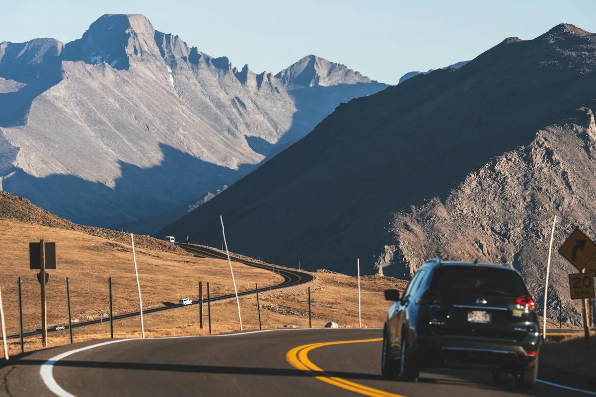
A pullout along Trail Ridge Road at 9,640 feet offering expansive views of multiple glacially carved valleys including Moraine Park, Horseshoe Park, and Beaver Meadows. Interpretive signs explain the glacial geology visible from this vantage point. The overlook faces east, making it well-suited for sunrise photography.

Silverton, CO
Molas Pass Overlook
Molas Pass sits at 10,910 feet on U.S. Route 550 between Silverton and Durango with a developed overlook offering panoramic views of the Grenadier Range and the Animas River valley far below. Molas Lake is visible in the foreground, reflecting the surrounding peaks on calm mornings. The area is known for dramatic cloud formations and sweeping alpine vistas.

Aspen, CO
Wheeler Trail to Aspen Mountain Summit
The Silver Queen Gondola provides access to the 11,212-foot summit of Aspen Mountain, where the Sundeck restaurant and panoramic viewing areas offer 360-degree views of the Elk Mountains, Maroon Bells, and the town of Aspen below. The summit can also be reached via the steep 3.5-mile Wheeler Trail from downtown Aspen. In summer, wildflower meadows line the upper mountain.

Golden, CO
North Table Mountain
A flat-topped mesa formed by lava flows 63 million years ago, rising about 600 feet above the city of Golden. The mesa top offers views of the Continental Divide, Denver skyline, and the town of Golden below. Wildflower displays on the mesa top are notable in late spring and early summer.
Fruita, CO
Fruita Paleontological Area - Book Cliffs Backdrop
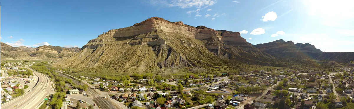
The Book Cliffs form a dramatic 200-mile escarpment visible from the Fruita area, with layered Cretaceous sandstone and shale rising above the Grand Valley. The cliffs provide a striking backdrop to the high desert landscape surrounding Fruita. Evening light paints the cliff faces in warm tones against purple shadow.
Montrose, CO
Black Canyon South Rim - Sunset View
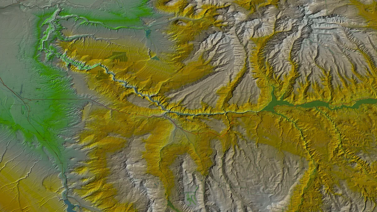
Sunset View is the westernmost overlook on the South Rim Drive of Black Canyon of the Gunnison National Park. The viewpoint faces west down the canyon, allowing the setting sun to illuminate the canyon walls and the Gunnison River far below. The overlook provides one of the widest panoramic views of the canyon.
Mancos, CO
Knife Edge Road Overlook
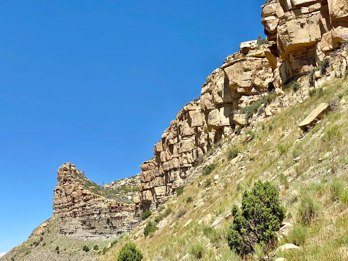
Knife Edge Road is the historic narrow entrance road to Mesa Verde National Park, featuring dramatic drop-offs on both sides with views into the Montezuma Valley and Mancos Canyon. The road runs along a narrow ridge with sweeping views of the pinon-juniper landscape below. Pullouts along the road allow for panoramic photography.

Nederland, CO
Barr Lake at Brainard Lake Area Sunset Point
The area around Nederland and the Peak to Peak Highway offers multiple pullouts with views of the Indian Peaks and Continental Divide. The stretch between Nederland and Ward along Highway 72 provides west-facing vistas of snow-capped peaks. Aspen groves along this corridor produce some of the most reliable fall color in the Front Range.
Durango, CO
Perimeter Trail Overlook
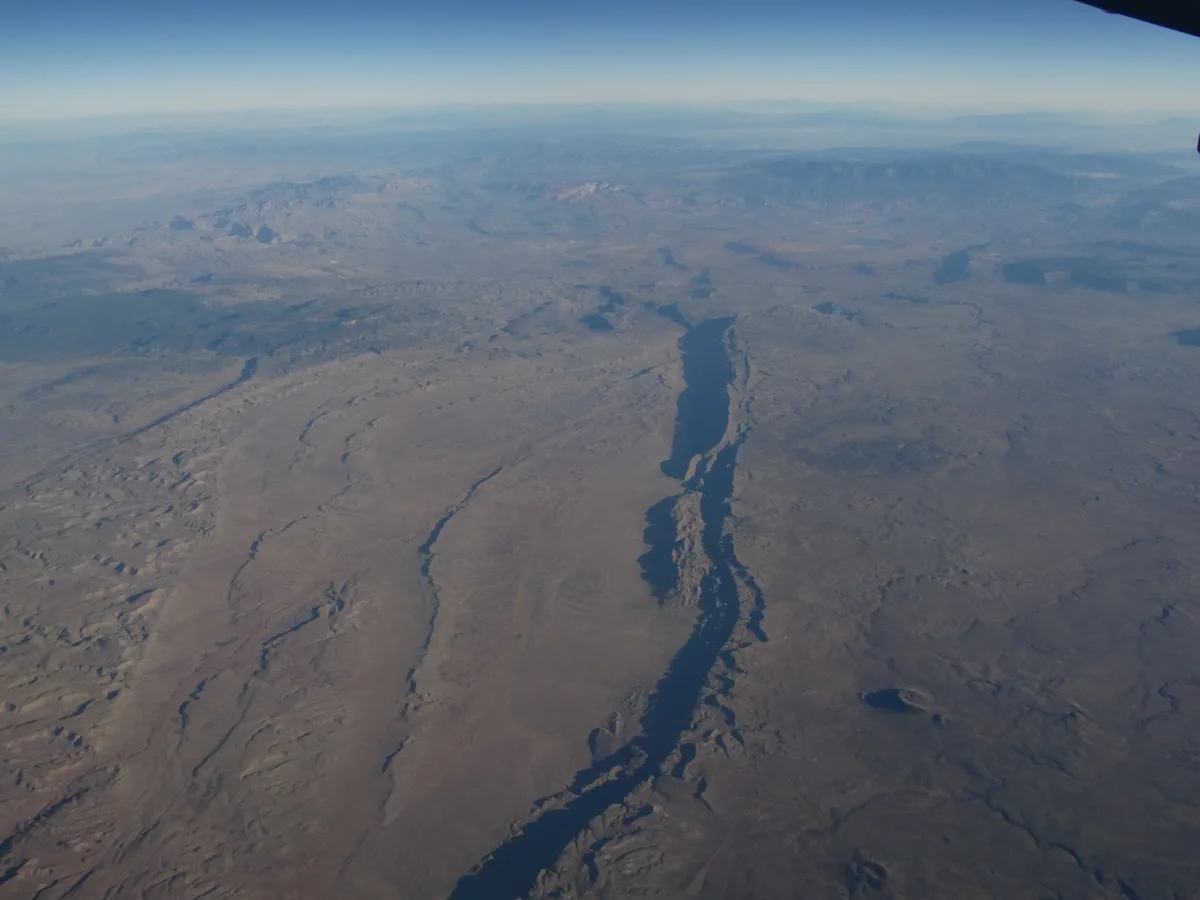
The Perimeter Trail in Durango's Overend Mountain Park offers elevated viewpoints overlooking the Animas Valley, the La Plata Mountains, and the town of Durango below. The trail traverses scrub oak and ponderosa pine forests that turn vivid orange and gold in autumn. Several rocky outcrops along the ridge provide natural platforms for panoramic photography.

Ridgway, CO
Dallas Divide
Dallas Divide on Highway 62 between Ridgway and Placerville is one of the most iconic roadside viewpoints in Colorado, offering a classic view of the Wilson Range including Mount Wilson, Wilson Peak, and El Diente. In autumn, foreground meadows and aspen groves frame the distant peaks in gold and orange. Rail fences along the highway add a quintessential Western element.

Vail, CO
Vail Mountain Gore Range Overlook
Accessible via the Eagle Bahn Gondola in summer, this viewpoint at over 10,000 feet provides panoramic views of the jagged Gore Range and the Holy Cross Wilderness. The Gore Range's dramatic sawtooth ridgeline extends across the northern horizon. Alpine wildflower meadows surround the upper gondola station in July and August.

Delta, CO
Grand Mesa - Land O' Lakes Overlook
Grand Mesa is the largest flat-topped mountain in the world, rising over 10,000 feet and containing more than 300 alpine lakes. The Land O' Lakes viewpoint on Grand Mesa Scenic Byway provides sweeping views across the mesa's lake-dotted plateau. Fall brings extensive aspen color across the mesa's slopes.
Montrose, CO
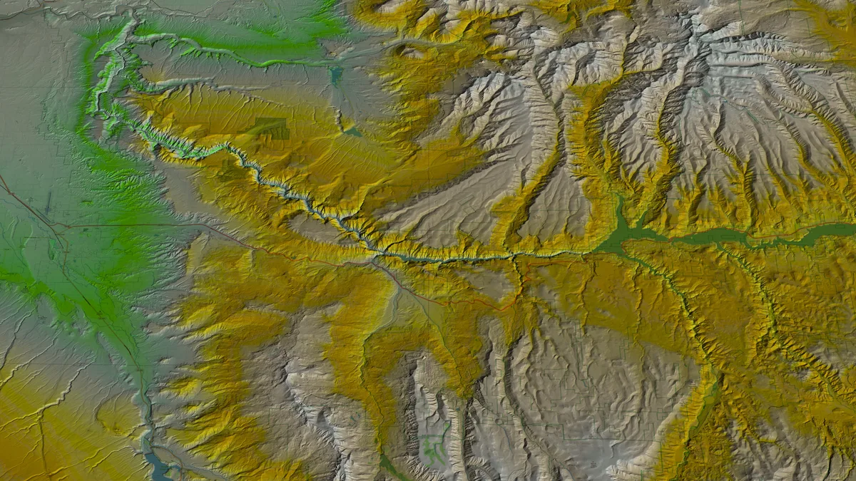
Black Canyon of the Gunnison - Chasm View
Chasm View offers a direct look into the narrowest section of the Black Canyon, where the canyon walls are only 1,100 feet apart at the rim and 40 feet apart at the river. The Gunnison River is visible nearly 2,000 feet below. The overlook is accessed via a short trail from the North Rim Road.
Grand Junction, CO
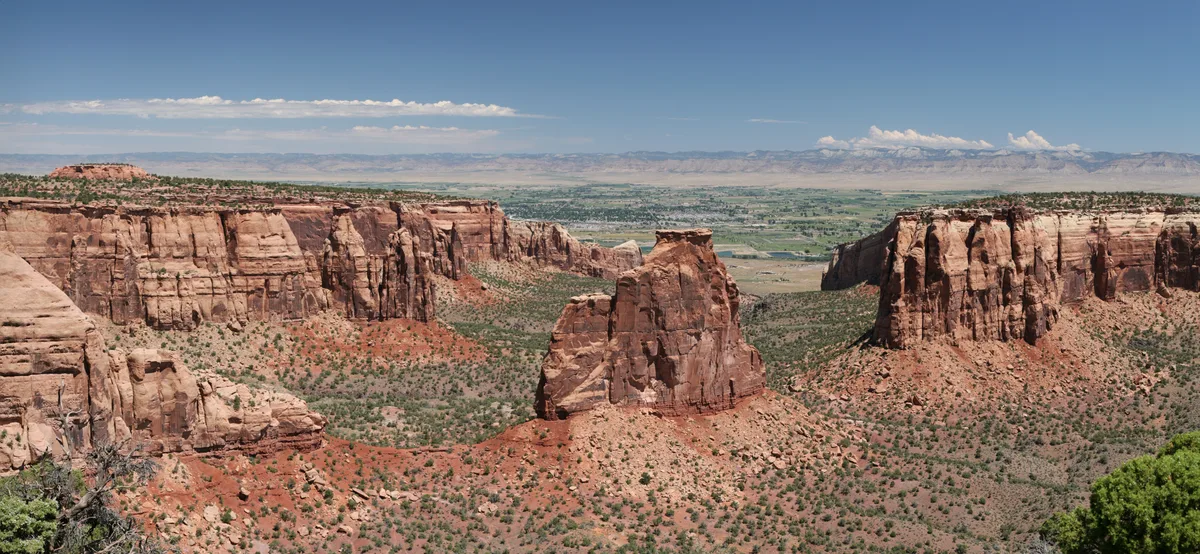
Colorado National Monument - Cold Shivers Point
Cold Shivers Point offers a vertigo-inducing overlook perched at the edge of a 500-foot sheer drop into Columbus Canyon within Colorado National Monument. The point is reached via a short spur off the Liberty Cap Trail. It provides one of the most dramatic straight-down canyon perspectives in the monument.
Ouray, CO
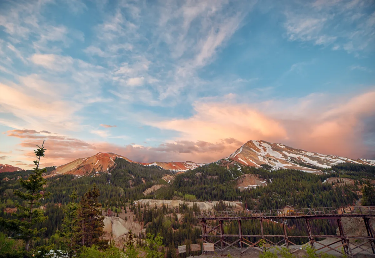
Million Dollar Highway - Red Mountain Pass
Red Mountain Pass sits at 11,018 feet along U.S. Route 550, the famous Million Dollar Highway connecting Ouray and Silverton. The surrounding peaks are stained vivid red and orange from iron oxide mineralization. Several pullouts offer views of the barren, colorful peaks and remnants of historic mining operations.
Lake City, CO
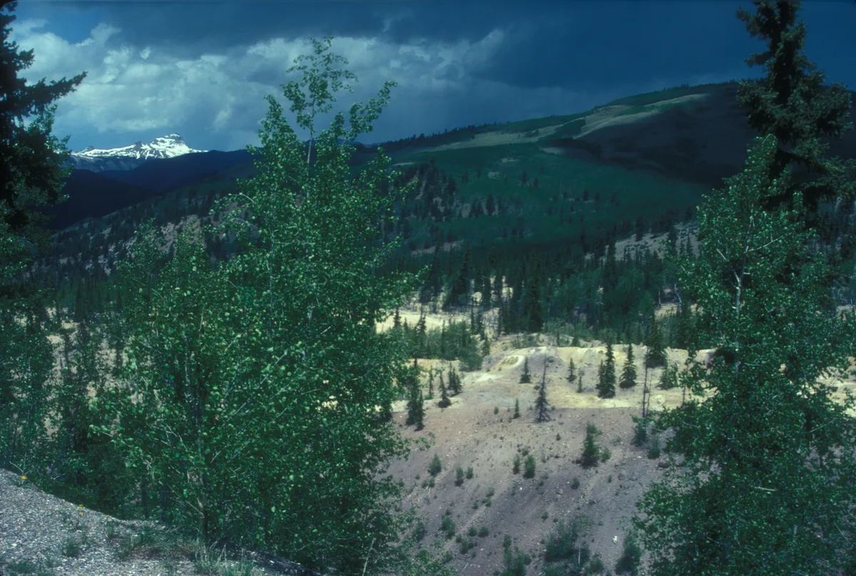
Slumgullion Pass and Earthflow
Slumgullion Pass at 11,530 feet provides a viewpoint over one of the most visually distinctive landslides in North America, the Slumgullion Earthflow. The still-active landslide displays a striking yellow-green color caused by mineral-stained clay visible against the surrounding green forest. An interpretive overlook on the Silver Thread Scenic Byway offers direct views of the entire slide path.
Montrose, CO
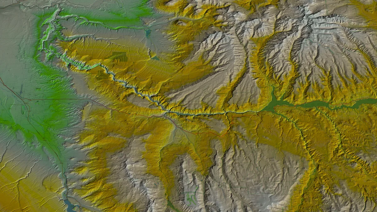
Gunnison Point - Black Canyon South Rim
Gunnison Point is the primary overlook adjacent to the South Rim Visitor Center at Black Canyon of the Gunnison National Park. The viewpoint looks directly down 2,000 feet to the Gunnison River, with the dark Precambrian walls narrowing dramatically below. Night skies at this International Dark Sky Park reveal the Milky Way arching over the canyon.
Estes Park, CO
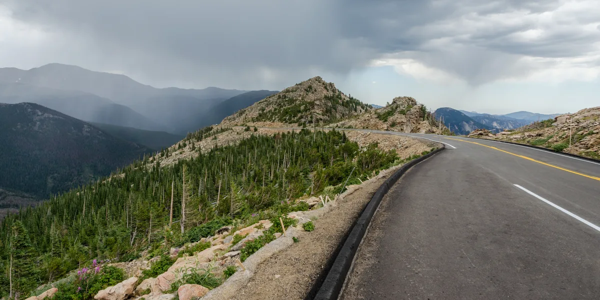
Trail Ridge Road - Forest Canyon Overlook
An overlook at 11,762 feet along Trail Ridge Road providing sweeping views into the glacially carved Forest Canyon and Gorge Lakes below. The vantage point reveals the full scale of the Continental Divide's eastern slope. Alpine tundra wildflowers bloom in the foreground during July.
Grand Lake, CO
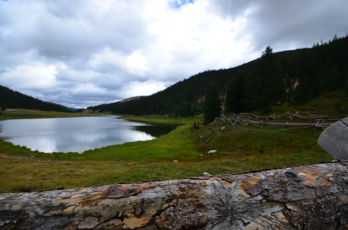
Milner Pass and Continental Divide
Milner Pass at 10,758 feet marks where Trail Ridge Road crosses the Continental Divide. A sign marks the exact divide where water flows to both the Atlantic and Pacific oceans. The Poudre Lake trailhead here provides access to views in both directions along the divide.