Canyon Country
10 places · Red rock, mesa & gorge

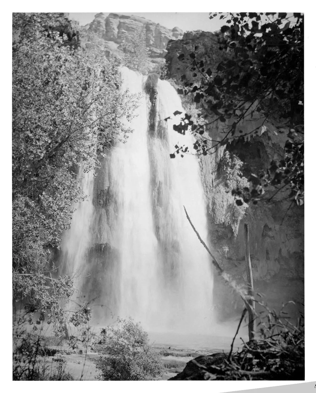
Colorado Springs, CO
North Cheyenne Cañon Park
A 1,600-acre city park featuring a deep granite canyon with Helen Hunt Falls, a 35-foot waterfall accessible by a short walk from the road. The canyon's towering walls create dramatic lighting conditions and support dense vegetation including Douglas fir and blue spruce. Silver Cascade Falls, a lesser-known 150-foot seasonal waterfall, is accessible via a moderate trail.

Fruita, CO
Colorado National Monument - Independence Monument View
Independence Monument is the most iconic sandstone monolith in Colorado National Monument, rising 450 feet from the canyon floor. The formation is visible from multiple overlooks along Rim Rock Drive. The surrounding Wingate sandstone walls glow deep red and orange during golden hour.

Montrose, CO
Black Canyon of the Gunnison - Painted Wall
The Painted Wall is Colorado's tallest sheer cliff at 2,250 feet, streaked with pegmatite dikes of pink and white that contrast against dark Precambrian gneiss. It is the signature feature of Black Canyon of the Gunnison National Park. The South Rim Road provides the primary viewpoint at Painted Wall View.
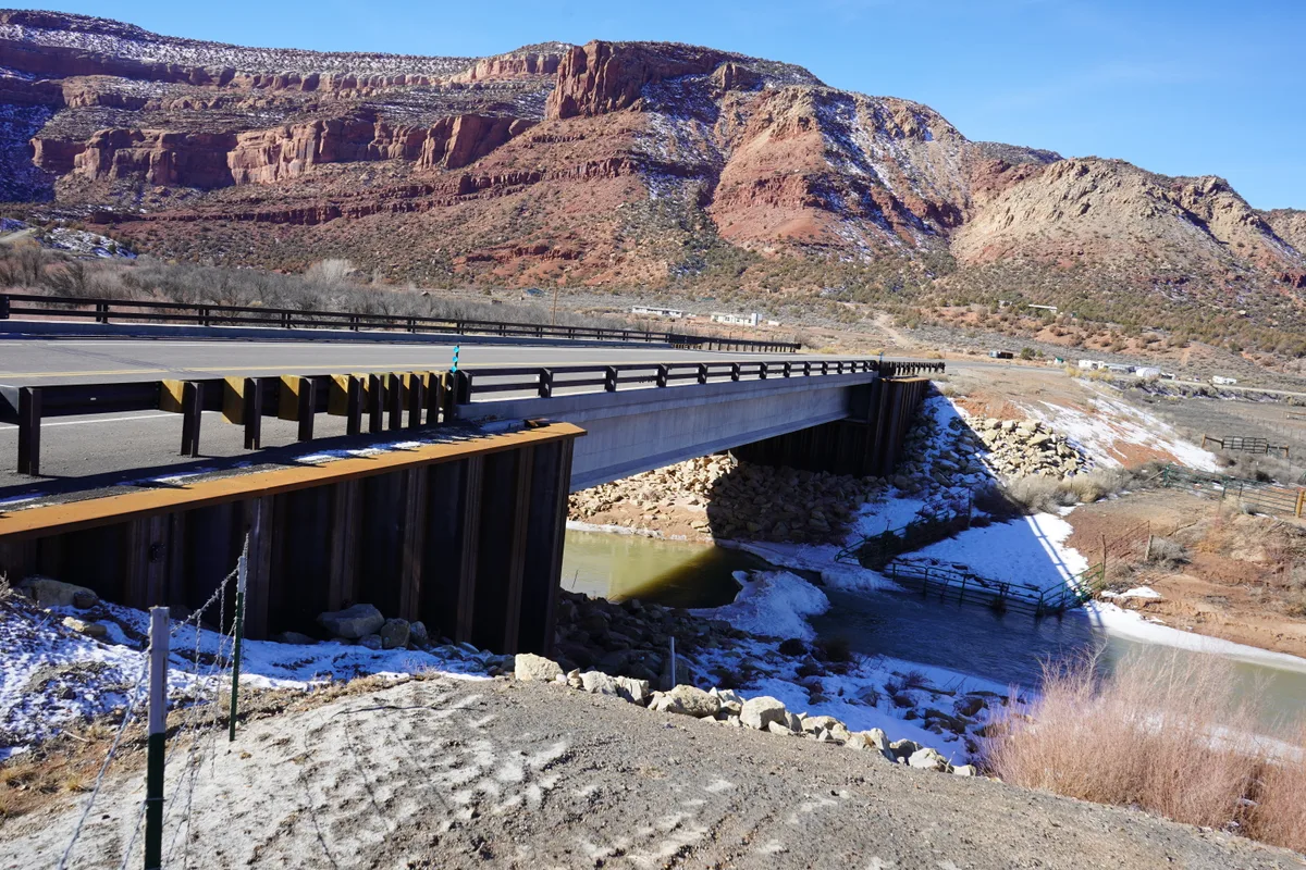
Dolores, CO
Dolores River Canyon near Dolores
The Dolores River canyon below McPhee Dam features red sandstone walls, cottonwood-lined banks, and a clear-flowing river corridor winding through the pinon-juniper landscape. The stretch between the dam and the town of Dolores is accessible from Colorado Highway 145 and offers intimate riparian scenery. Fall color from cottonwoods and willows creates striking contrasts against the red rock.
Ouray, CO
Box Canyon Falls
Box Canyon Falls is a 285-foot waterfall that drops through a narrow quartzite canyon only 20 feet wide. A steel bridge and viewing platform provide a dramatic vantage point inside the canyon where the spray and roar of Canyon Creek fill the enclosed space. The site is a designated National Natural Landmark.
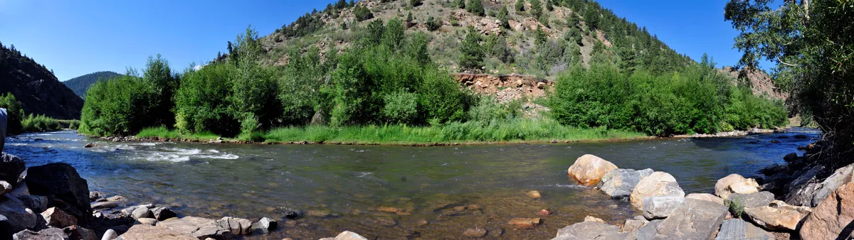
Golden, CO
Clear Creek Canyon
A narrow canyon carved by Clear Creek through Precambrian metamorphic rock west of Golden along U.S. Route 6. The canyon walls rise steeply on both sides, creating dramatic light conditions throughout the day. The creek provides opportunities for long-exposure water photography among the boulders.

Denver, CO
Castlewood Canyon State Park
A state park centered on a canyon carved by Cherry Creek through rhyolite volcanic rock and sedimentary layers. The remains of Castlewood Dam, which failed catastrophically in 1933, are a prominent feature. The canyon walls display colorful geological layers and support a microclimate with lush vegetation on the canyon floor.
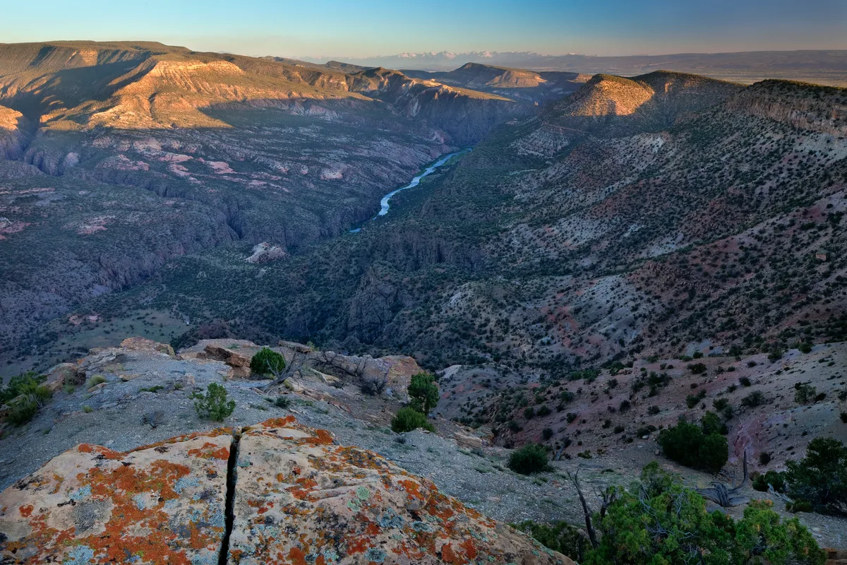
Delta, CO
Gunnison Gorge Wilderness - Chukar Trail
The Chukar Trail descends 1,300 feet over approximately one mile to reach the Gunnison River within the Gunnison Gorge Wilderness. The inner gorge features dark metamorphic rock walls and a pristine Gold Medal trout fishing stretch. The trail provides dramatic views of the river corridor below the Black Canyon.
Grand Junction, CO
Unaweep-Tabeguache Scenic Byway - Unaweep Canyon
Unaweep Canyon is a geologically unique canyon with the rare feature of having two creeks flowing in opposite directions from a central divide. The canyon walls expose 1.7-billion-year-old Precambrian granite and gneiss capped by Wingate sandstone. The Unaweep Divide at 7,048 feet marks the point where West Creek and East Creek separate.
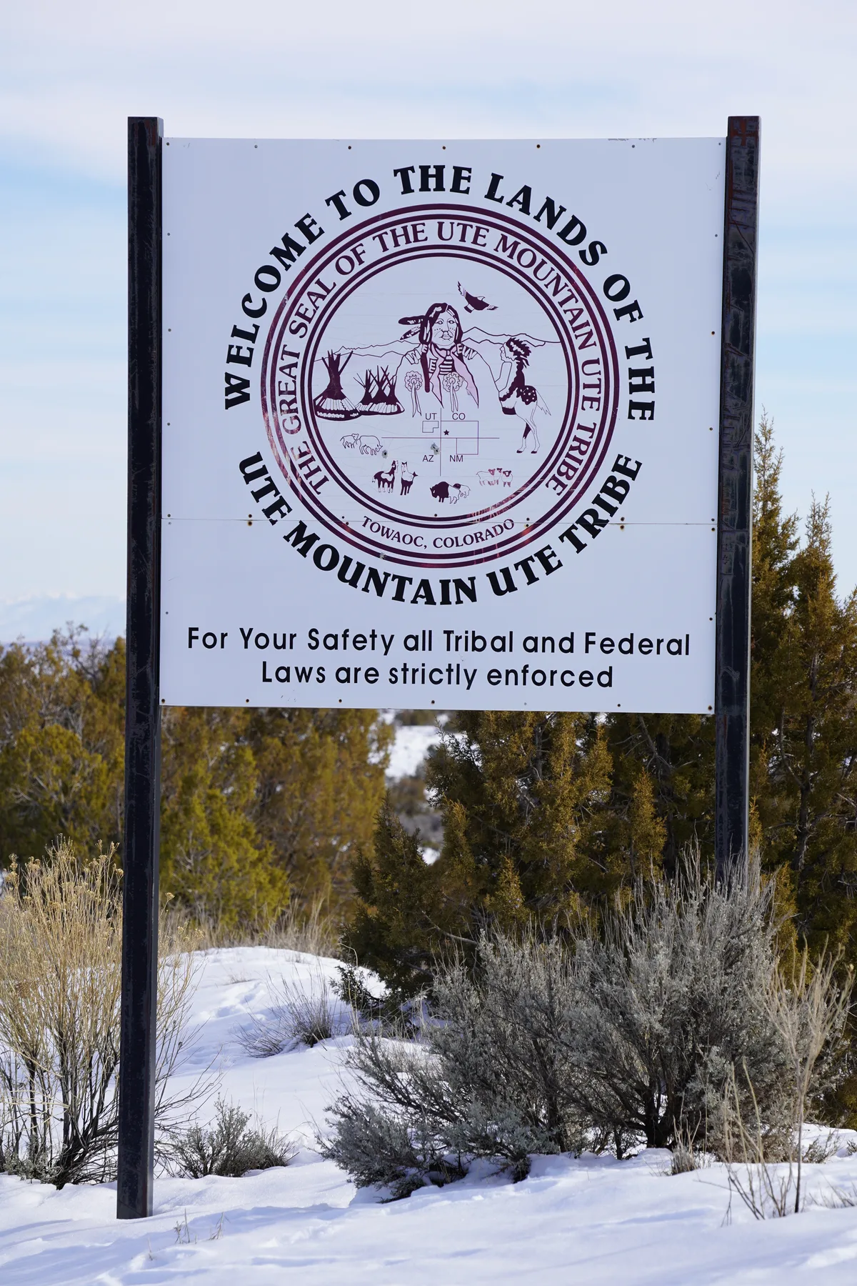
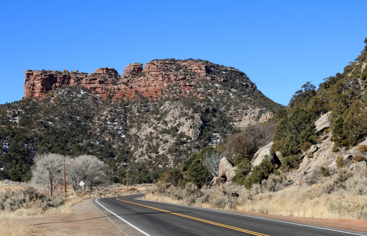
Towaoc, CO
Ute Mountain Tribal Park
Ute Mountain Tribal Park preserves thousands of Ancestral Puebloan archaeological sites along the Mancos River canyon, including cliff dwellings, petroglyphs, and surface pueblos. The park is accessible only through guided tours led by Ute Mountain Ute tribal members. Sites within the park rival those of Mesa Verde but see a fraction of the visitation.