
Ophir Pass
Silverton, CO
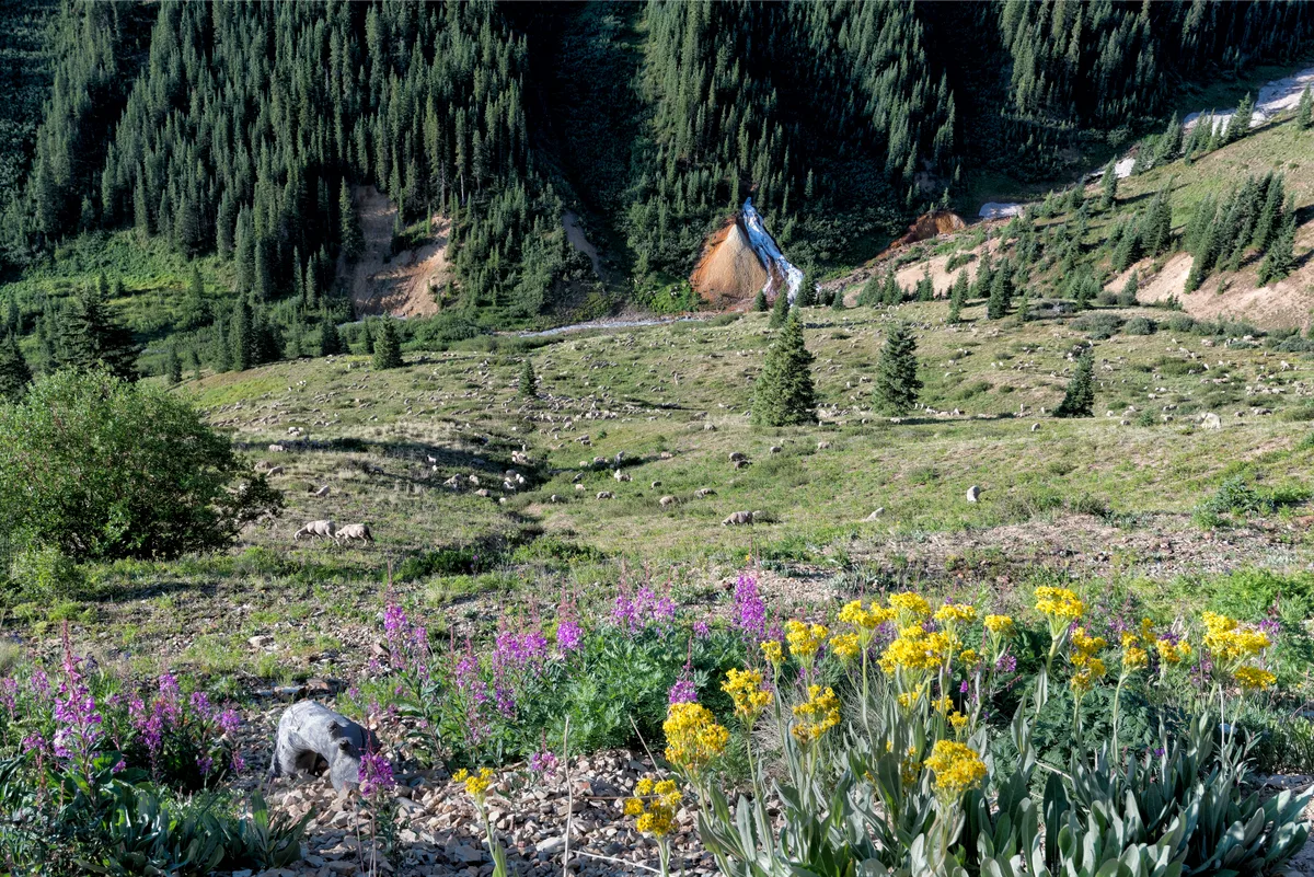
Ophir Pass is a 11,789-foot alpine pass between Silverton and Telluride that follows a historic toll road built in 1881. The Silverton side features expansive views of the mineral-stained peaks of the Red Mountain mining district. Near the summit, the road traverses above timberline with vast open tundra and scattered wildflowers.
Photography Guide
- Best Time
- morning
- Crowds
- Quiet
- Shot Types
- widelandscapedetail
- Best Seasons
- summer
Is it a good day to go?
7-day outlookMild, dry days with light winds are the most comfortable for a visit.
Forecast by Open-Meteo. Verdicts weigh the forecast against the conditions that suit this spot.
Author's Comments
Most people choose Black Bear or Imogene and never think about Ophir, which is exactly why I keep going back. The Silverton approach is the one to take. The grade is gentler and the views begin almost immediately, the Red Mountain peaks staining the morning in rust and ochre, the old mining bones of the district scattered across the slopes like something the mountains forgot to bury. The road climbs through spruce and then past it, and somewhere around eleven thousand feet the world opens. Tundra in every direction. In late July the wildflowers come in patches rather than carpets up here, paintbrush and alpine avens tucked into the rock, and the wind carries that particular high-country silence that is not really silence at all but the absence of everything you are used to hearing. I shoot this pass three ways. Wide, for the scale of the basin and the way the light moves across it. Landscape compositions that use the road itself as a line leading the eye toward Telluride's peaks on the far side. And detail work in the tundra, where a square foot of ground at this elevation contains more than most meadows do at half the height. Go early. The afternoon storms build fast in the San Juans in summer and you do not want to be above timberline when they arrive. A high-clearance vehicle is not optional. The window is short, late June through early October if the snow cooperates, and the pass feels genuinely remote in a way that most Colorado passes no longer do. That is the gift of it. Almost nobody comes.
Gallery
You might also like
Nearby Places

Silverton, CO
Ice Lake Basin
Ice Lake sits at 12,585 feet in a glacial cirque surrounded by the dramatic peaks of Vermillion, Golden Horn, and Pilot Knob. The lake is known for its impossibly vibrant turquoise color, set against lush wildflower meadows in midsummer. The basin also includes Island Lake, another photogenic alpine destination.

Ouray, CO
Million Dollar Highway - Red Mountain Pass
Red Mountain Pass sits at 11,018 feet along U.S. Route 550, the famous Million Dollar Highway connecting Ouray and Silverton. The surrounding peaks are stained vivid red and orange from iron oxide mineralization. Several pullouts offer views of the barren, colorful peaks and remnants of historic mining operations.

Telluride, CO
Bridal Veil Falls
At 365 feet, Bridal Veil Falls is the tallest free-falling waterfall in Colorado. A historic hydroelectric power plant sits at the top of the falls and is one of the oldest alternating current power plants still operating in the world. The falls are visible from the east end of Telluride's box canyon.