
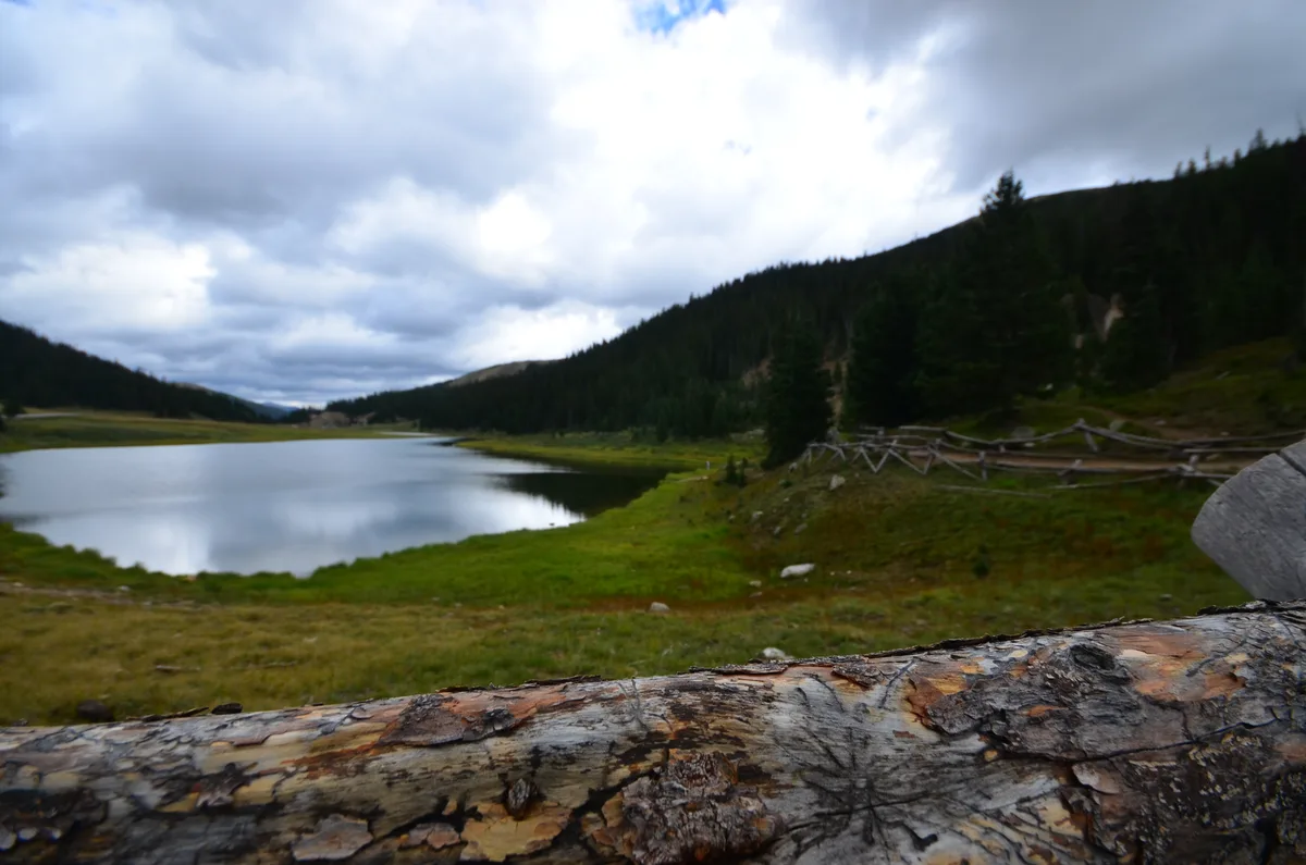
Milner Pass and Continental Divide
Grand Lake, CO
Milner Pass at 10,758 feet marks where Trail Ridge Road crosses the Continental Divide. A sign marks the exact divide where water flows to both the Atlantic and Pacific oceans. The Poudre Lake trailhead here provides access to views in both directions along the divide.
Photography Guide
- Best Time
- any
- Crowds
- Moderate
- Shot Types
- landscapewide
- Best Seasons
- summer
Is it a good day to go?
7-day outlookMild, dry days with light winds are the most comfortable for a visit.
Forecast by Open-Meteo. Verdicts weigh the forecast against the conditions that suit this spot.
Author's Comments
There is something quietly satisfying about standing at a place where water makes a decision. Milner Pass sits at 10,758 feet, just below the high tundra, where the road crosses the Continental Divide and a modest sign tells you that the rain falling on one side of your boot heads to the Atlantic and the rain falling on the other heads to the Pacific. It is not a dramatic overlook in the conventional sense. The view does not open onto a wide horizon the way it does up at the Alpine Visitor Center. Instead the divide slips through a band of subalpine spruce and fir, and Poudre Lake sits dark and still just below the road, holding the reflection of the ridgeline above it. I come here in July and August when the wildflowers along the lake trail are at their peak and the light at midday is hard but the early and late hours are kind. The walk to Poudre Lake is short, almost too short to call a hike, and most visitors stop only at the sign and drive on. That is the gift. Five minutes down the path and the road noise fades and the place becomes what it actually is, which is a quiet pond at the spine of the continent, ringed by trees that have weathered more winters than I can imagine. It is a stop, not a destination. But it is the kind of stop worth slowing down for, especially if you have been driving the high tundra all morning and need a place where the scale comes back down to something a person can hold.
Gallery
You might also like
Nearby Places

Estes Park, CO
Alpine Visitor Center and Fall River Pass
The highest visitor center in the National Park System at 11,796 feet, situated along Trail Ridge Road at Fall River Pass. A short trail behind the center ascends to panoramic 360-degree views of the Never Summer Mountains and Mummy Range. The surrounding alpine tundra supports miniature wildflowers from late June through August.

Estes Park, CO
Rock Cut and Tundra Communities Trail
A paved 1-mile interpretive trail at 12,110 feet along Trail Ridge Road that traverses fragile alpine tundra with 360-degree views. The trail climbs to Toll Memorial at 12,310 feet, providing views of the Continental Divide, Gorge Lakes, and Forest Canyon. Miniature tundra wildflowers bloom from late June through early August.

Grand Lake, CO
Holzwarth Historic Site
A preserved 1920s dude ranch on the west side of Rocky Mountain National Park in the Kawuneeche Valley. The weathered log cabins sit in a meadow along the Colorado River with the Never Summer Mountains as a backdrop. The half-mile trail to the site passes through meadows where moose and elk are regularly spotted.