
Rock Cut and Tundra Communities Trail
Estes Park, CO
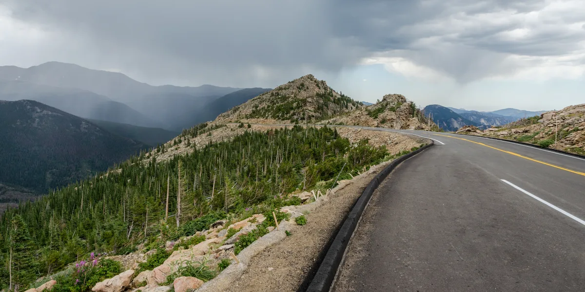
A paved 1-mile interpretive trail at 12,110 feet along Trail Ridge Road that traverses fragile alpine tundra with 360-degree views. The trail climbs to Toll Memorial at 12,310 feet, providing views of the Continental Divide, Gorge Lakes, and Forest Canyon. Miniature tundra wildflowers bloom from late June through early August.
Photography Guide
- Best Time
- morning
- Crowds
- Moderate
- Shot Types
- widelandscapedetail
- Best Seasons
- summer
Is it a good day to go?
7-day outlookMild, dry days with light winds are the most comfortable for a visit.
Forecast by Open-Meteo. Verdicts weigh the forecast against the conditions that suit this spot.
Author's Comments
Twelve thousand feet rearranges what a photographer thinks about. The big view is given to you for free up here. Three hundred and sixty degrees of it, the Continental Divide unrolling in one direction and Forest Canyon falling away in another, and the temptation is to spend the whole hour with a wide lens trying to hold all of it at once. I have done that. The pictures are fine. They are also interchangeable with every other picture made from this trail. The work I keep coming back for is at my feet. The tundra in mid-July is a miniature country - moss campion in tight pink cushions, alpine forget-me-nots almost too blue to be real, sky pilot pushing up between the rocks. None of these plants stand more than an inch or two off the ground. They have spent the entire short summer becoming what they are, and they will be gone by August. A macro lens earns its weight here in a way it does not at lower elevation. Come in the morning. The wind picks up by ten most days and at this altitude wind is not a nuisance, it is a problem. I have had a tripod blown sideways on this trail. The light before nine is cleaner anyway, the divide still holding shadow on its eastern faces, the lakes in the gorge below catching the first real warmth. Stay on the pavement. I mean this practically and I mean it as a photographer. The tundra you step on does not recover in your lifetime. Whatever picture you thought you needed from three feet off the path is not worth what it costs.
Gallery
You might also like
Nearby Places
Estes Park, CO
Trail Ridge Road - Forest Canyon Overlook
An overlook at 11,762 feet along Trail Ridge Road providing sweeping views into the glacially carved Forest Canyon and Gorge Lakes below. The vantage point reveals the full scale of the Continental Divide's eastern slope. Alpine tundra wildflowers bloom in the foreground during July.
Estes Park, CO
Alpine Visitor Center and Fall River Pass
The highest visitor center in the National Park System at 11,796 feet, situated along Trail Ridge Road at Fall River Pass. A short trail behind the center ascends to panoramic 360-degree views of the Never Summer Mountains and Mummy Range. The surrounding alpine tundra supports miniature wildflowers from late June through August.
Grand Lake, CO
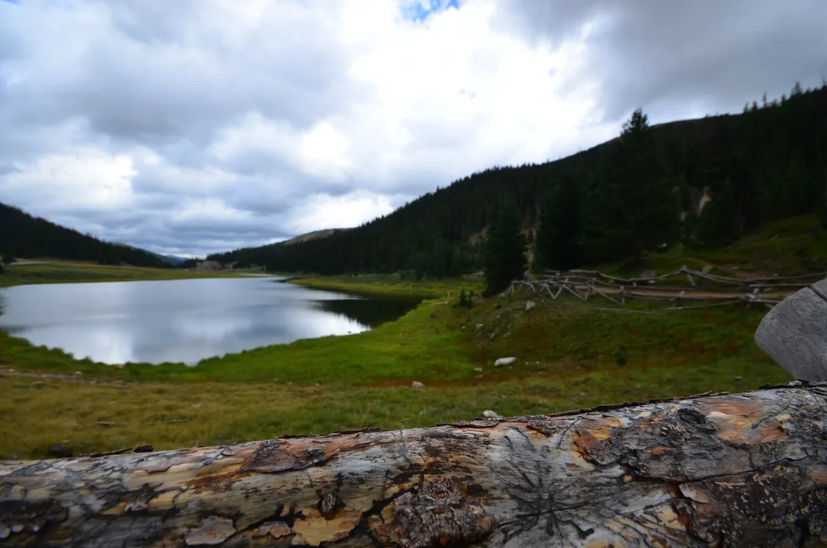
Milner Pass and Continental Divide
Milner Pass at 10,758 feet marks where Trail Ridge Road crosses the Continental Divide. A sign marks the exact divide where water flows to both the Atlantic and Pacific oceans. The Poudre Lake trailhead here provides access to views in both directions along the divide.